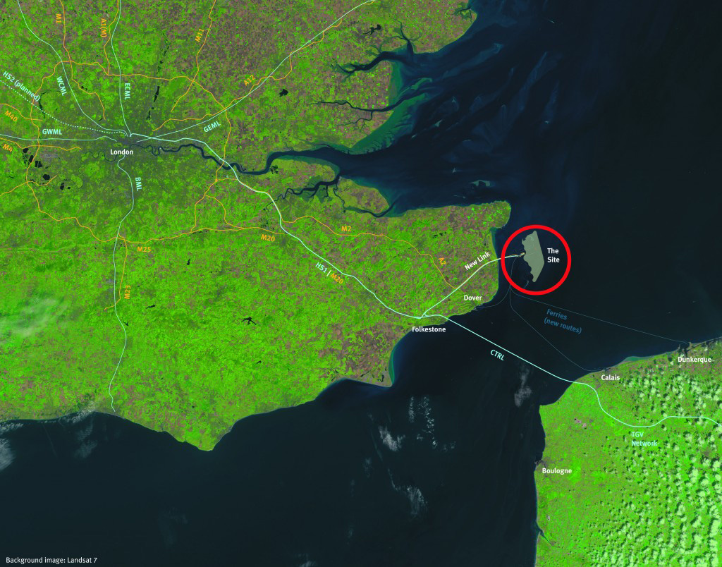
 The Goodwin sands lie around three kilometres off the east coast of Kent. The sandbanks have been a serious hazard to shipping for as long as ships have sailed the English Channel. The sands are submerged, except for at low tide, and are subject to constant reshaping by tidal flows, requiring frequent re-survey for the updating of charts and repositioning of navigational aids. Despite being liable to movement under tidal action the sands are firm and will make a sound formation for construction.This same geological feature that presents such a hazard to shipping has major advantages as the site for a new hub airport for London, for England’s south-east and for the north-west region of Europe.
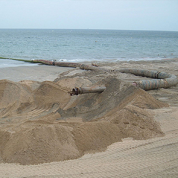
Using well tried techniques perfected in Holland the sands can be protected by a perimeter sea defence bund and reclaimed. Some fill material will be required in addition to the materials for construction of the perimeter bund although the volume of fill need not be excessive. Much of the Goodwin sands are at an elevation of around 3m below Mean Sea Level which is similar to the elevation of Amsterdam’s Schipol Airport runways; if the new airport is founded at this level then fill material is only required to raise the lower parts of the site. While any development would be phased the available area within the sands’ limits is extensive enough to allow airport expansion to five or more runways together with supporting facilities.
 As well as being outside all shipping lanes the Goodwin sands are also outside all designated nature conservation areas. The sands are not a breeding zone for birds and there are no wind turbines or other impediments to construction in the area. The only constraint is six protected historic wrecks which will need to be either isolated and preserved in situ or removed and conserved as part of the development.
Goodwin’s offshore location enables low level overflying of populated areas to be avoided completely, yet at the same time the site can be efficiently integrated with existing transport infrastructure, including High Speed One (HS1), the motorway network and cross channel ferry services. In our plans we have shown the road and rail connections to the mainland being via 4km long sub-sea tunnels to minimise visual impact although a bridge link would be a cheaper alternative.


